For the Area Baumholder and Frauenberg, small hiking brochures are available, which describe the course of the trail, contain an overview map and tell stories about the hiking trails.
There is also a cycling and hiking map on a scale of 1:25,000 with cycling and hiking trails in the community of Baumholder.
The maps and the hiking brochures are available at the city office, Phone: 06783-981140, at the tourist information in the cultural center Goldener Engel, Phone: 06783-7043951 and at Association community Baumholder, Phone: 06783-8116.
Up-to-date information on hiking trails
Hiking trails in the Gärtel (City Forest)

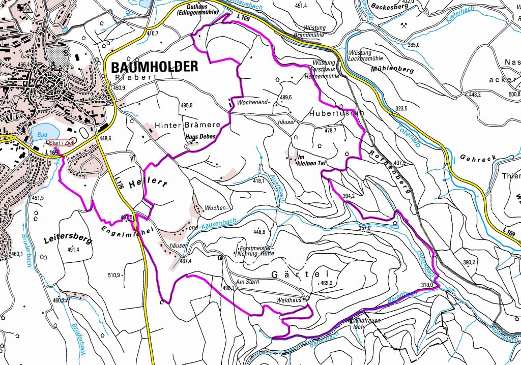
Bärenbach Trail
Distance: 14 km
Difficulty level: medium difficulty
Marking: purple color marking
Start/Finish: Baumholder pond, free parking, restaurants just minutes away
Starting point:
The start and finish of the trail are located at the Nature city pond near the center of Baumholder. A car park is available and the adjacent restaurant can be reached within a few minutes.
Short directions:
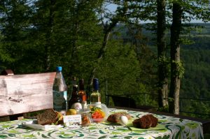
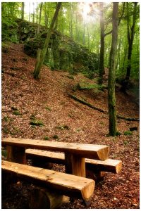
The medium-difficult path of the dream loop “Bärenbachpfad” leads you over meadows and fields with unique long-distance views, through diverse forest areas with charming streams and mysterious places that know how to tell many stories.
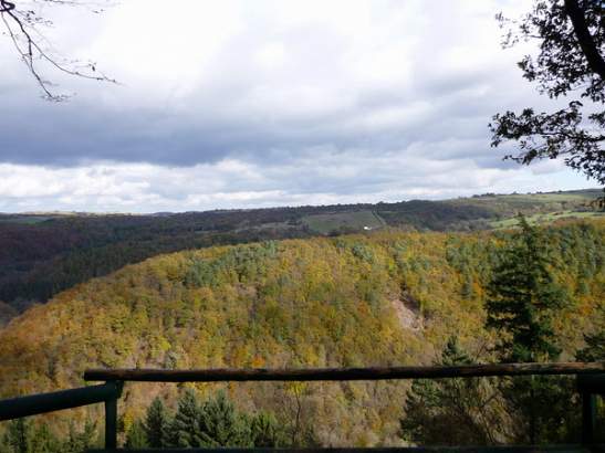
Unique, above all are the insights to the still active troop training area Baumholder, which partly functions as a biotope and retreat area, but is also used for military purposes.
Attractions
The other leisure opportunities and sights of the city of Baumholder, such as the Stadtweiher, the Golden Angel Cultural Center with the Regional Museum, the Local History Museum, the Dicke Turm or the corpse wicket are also just a few minutes away from the hiking trail.
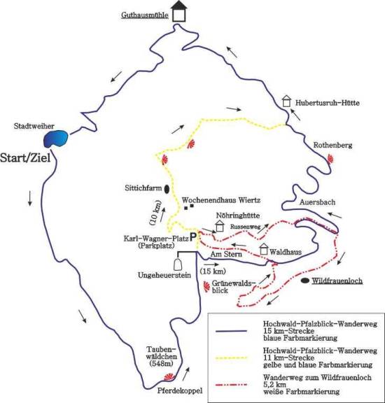
Hochwald-Pfalzblick-Wanderweg
Distance: 14 km
Difficulty level: easy
Marking: blue color mark
Start/Finish: Weiherplatz in Baumholder / Guthausmühle in Baumholder.
Another 2 km to Weiherplatz.
Landscape: Forest and meadow landscape
Viewpoints: View of the Hunsrück and the Palatinate
Refreshment: Restaurants in the town of Baumholder
Hochwald-Pfalzblick-Wanderweg
Distance: 10.2 km
Difficulty level: easy
Marking: blue and yellow color marking
Start/Finish: Weiherplatz in Baumholder / Guthausmühle in Baumholder.
Another 2 km to Weiherplatz.
Landscape: Forest and meadow landscape
Viewpoints: View of the Hunsrück and the Palatinate
Refreshment: Restaurants in the town of Baumholder
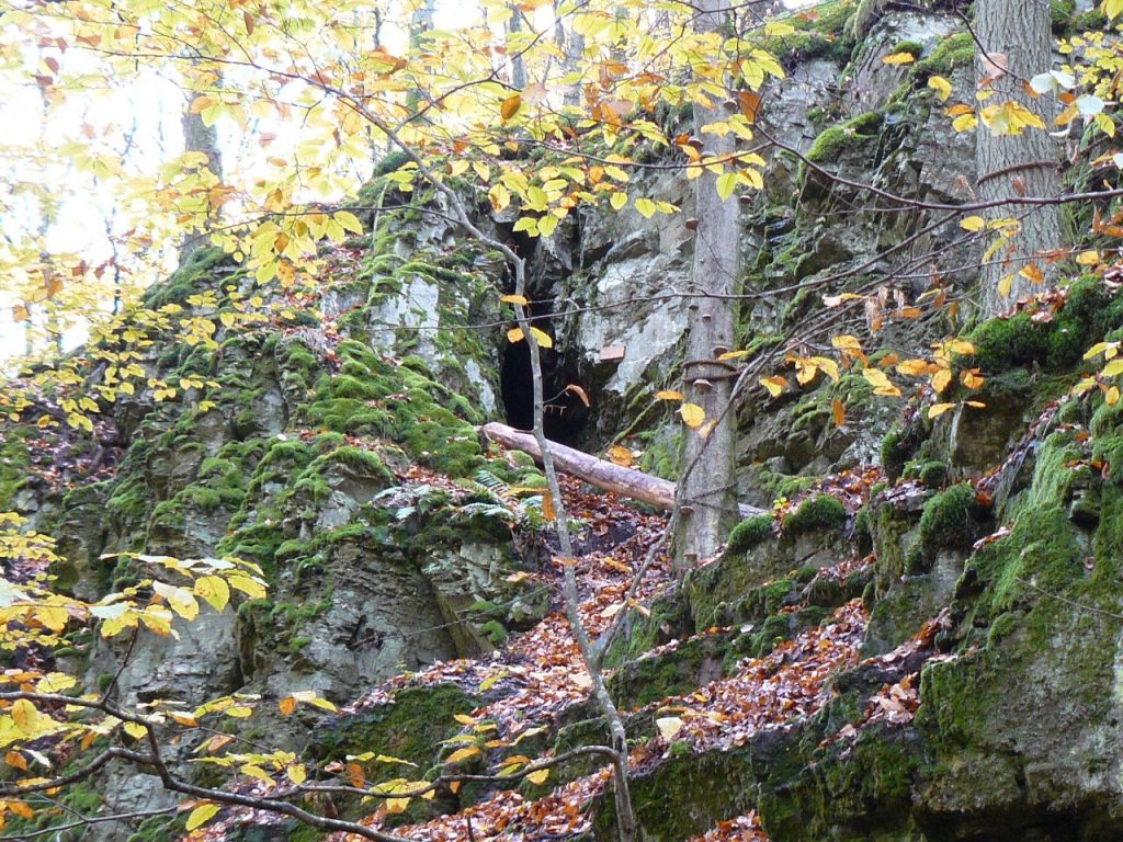
To the Wildfrauenloch
Distance: 5.2 km
Difficulty level: easy (ascent to the cave difficult!)
Marking: white color mark
Start/Finish: Parking (Karl-Wagner-Platz) in the Gärtel – Baumholder.
Circular hiking trail in the forest.
You can also find more about hiking trails under Hiking trails on the VG website.